2023-2024
Funding agency: Environment and Sustainability Research Center, The Open University of Israel
Researchers: Or Aleksandrowicz, Daniel Rosenberg, David Pearlmutter
Accessible and readily available public transport is perceived today as an essential component in securing urban quality of life and as one of the central goals of any urban sustainability vision. However, accessibility to public transport is often presented as depending mainly on the walking distance between users’ starting points and transportation stops and the quality of the physical infrastructure dedicated to walking. Surprisingly, this approach ignores the need to secure thermal comfort in the pedestrian access routes to the transportation stops. This study was intended to provide an initial response to this gap by developing a method for prioritising improvements to the climatic accessibility of transportation stops. The prioritisation indices we developed are based on quantifying the gap between the intensity of stop use and the degree of solar exposure of the footpaths leading to the stops. The study focused on three major cities in Israel: Tel Aviv-Yafo, Haifa and Be’er Sheva, as well as the town of Netivot.
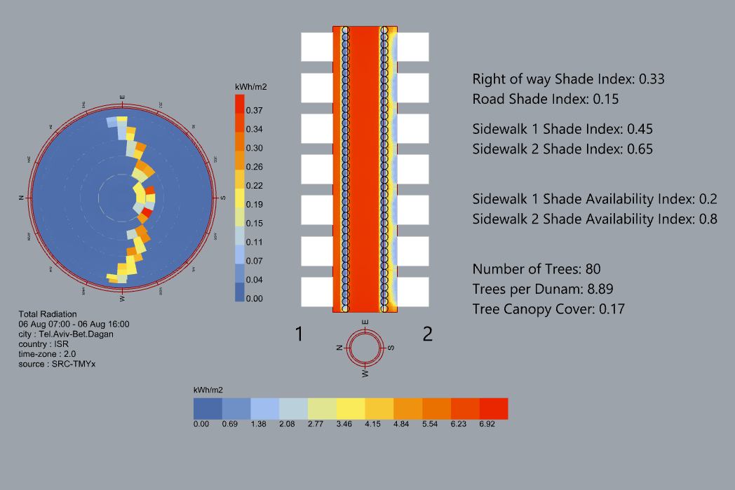
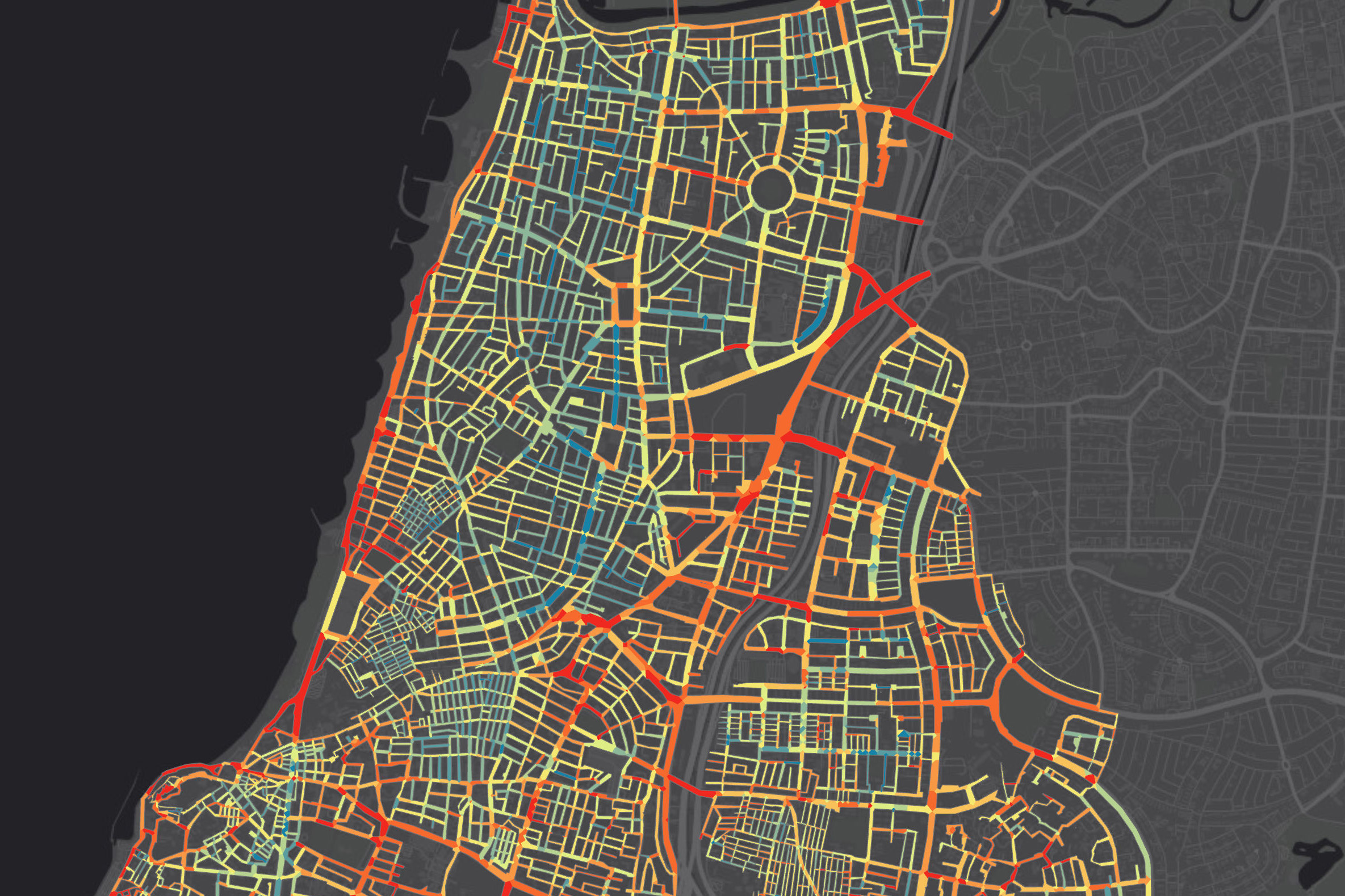
The study included the analysis and cross-referencing of two main datasets: a dataset of travel ticket validation in public transport that the Ministry of Transport shares with the public and shade maps of streets and statistical zones of the four cities analysed in this study. From the ticket validation dataset, it was possible to learn about daily and seasonal trends in public transport travel in each city, as well as to calculate the daytime average passenger flow during the hot season for each transportation stop. The shade maps allowed us to calculate the level of hot season shading in the routes leading to each stop or in the streets within specific zones. Using these two datasets, we calculated a new index, the Shading Priority Index, which quantified the importance of adding street shading as a product of the average shading situation and number of public transport passengers during the day.
In this study, we present two shading prioritisation indices: one, at the resolution of a single transportation stop, is based on an analysis of the shading situation in all the pedestrian routes leading to each stop and the number of passengers boarding public transport from that stop; The other, at the much lower resolution of a statistical zone, is based on an analysis of the average shading and passenger quantities at all stops in a particular statistical zone. Of the two, the shading prioritisation index at stops is more focused, rich, and geographically detailed, but its calculation requires a more complex procedure. An analysis of the mapping results of the shading prioritisation index at stops and statistical zones indicates that using the more complex index for calculation (shading prioritisation at stops) yields more spatially accurate results, including highlighting secondary activity centres that do not receive prominence in the statistical zones analysis. On the other hand, each of the two indices leads to the conclusion that in each city we analysed, shading operations should be focused on areas bordering almost all the urban train stations, and in this respect, it is also possible to rely on the shading priority index in statistical zones to define areas of top urban priority for shading.
The calculation of shading prioritisation indices in the four cities we examined in the study made it possible to reveal significant differences between the cities, both in passenger quantities from different transportation stops and in the shading conditions in the routes leading to them, and to identify key weak points of climatic accessibility to transportation stops in each city. These differences emphasise the importance of individual mapping of shading conditions and passenger quantities in each city before deciding on shading actions in urban spaces. The mapping produced during the study makes it possible to determine that the method we present here can be implemented relatively easily and on a relatively large scale in all cities in Israel for clear prioritisation of streets and areas where shading operations are required. The widespread application of this method in other cities may also enable decision-makers and planners to identify recurring vulnerabilities in climatic accessibility to public transport throughout the country and conduct a comparative examination of the level of climatic accessibility to public transport between different cities. Cross-referencing with spatial socioeconomic indicators, the metrics developed in this study may also help expose gaps in climatic accessibility to public transport that particularly affect the access of disadvantaged populations to this public resource.