2022-2024
Funding agency: Yad Hanadiv
Research leaders: Or Aleksandrowicz and David Pearlmutter
Researchers: Naama Shapira, Michelle Clark Levenson, Shachar Zur
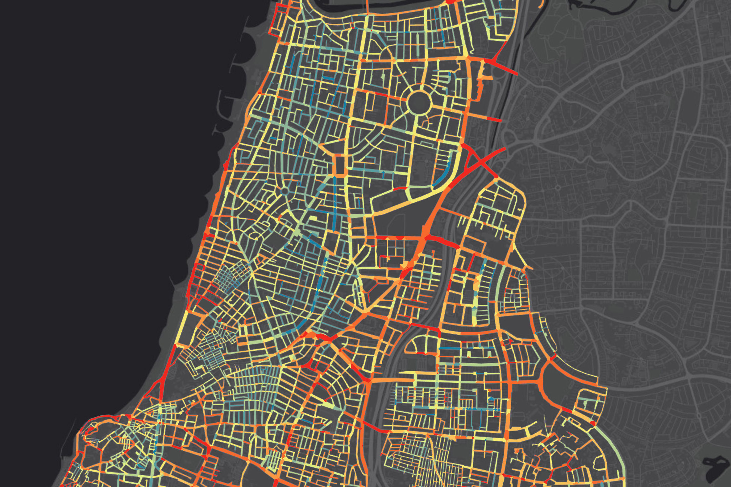
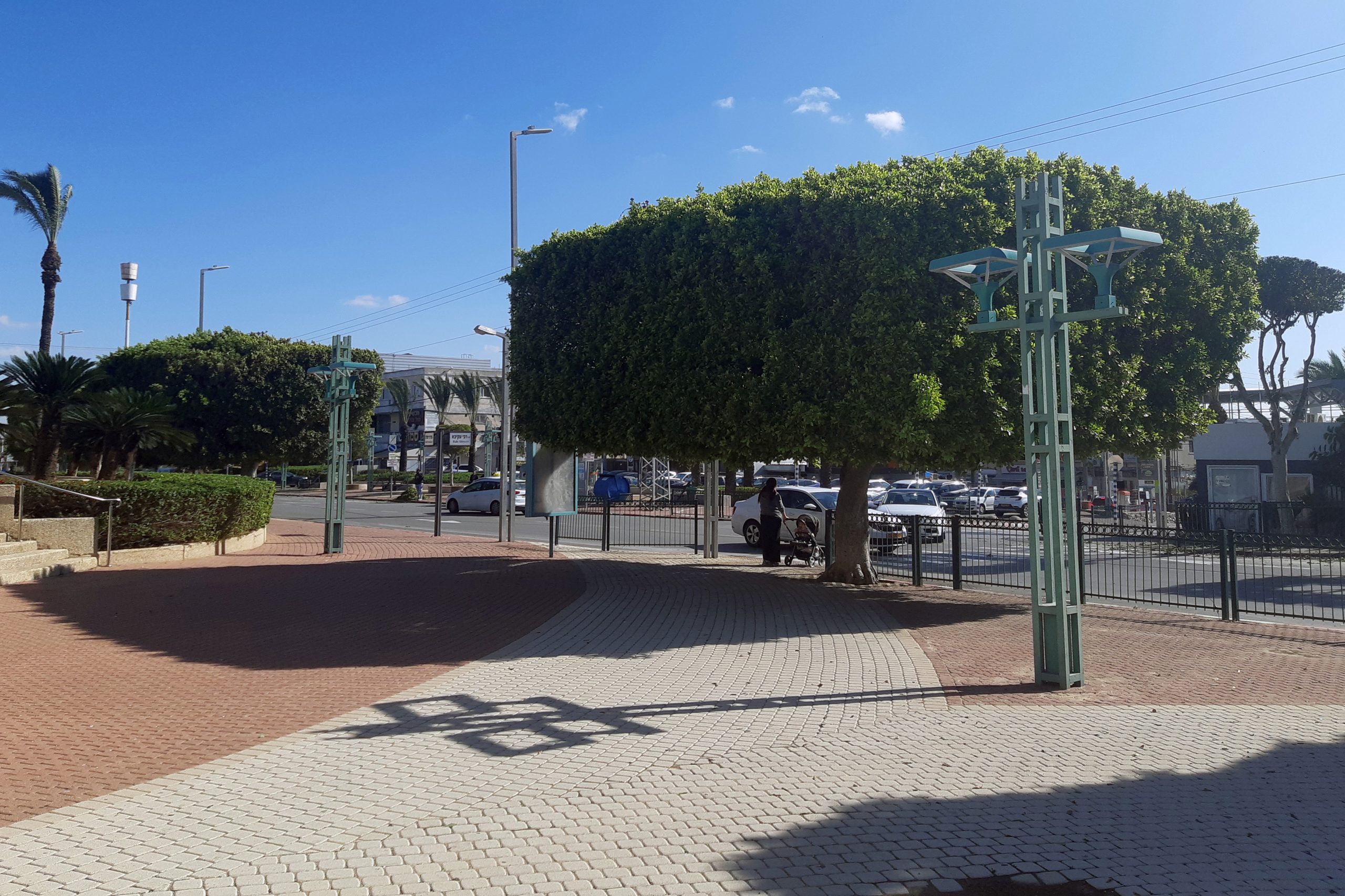
Shading in the urban environment is closely related to the planning and design of built-up spaces. In certain street orientations, the design of buildings can result in good shading conditions along the sidewalks. However, in many cases, it is necessary to use additional elements such as pergolas, shading fabrics, and especially street trees to secure even reasonable levels of shade.
Shade promotion using trees, as a central part of Israel’s policy towards adaptation to global warming, also lies at the centre of the Israeli Government’s Resolution 1022 of 23 January 2022. Yet, the national strategic plan for shading and cooling of urban spaces published at the end of 2022 included an implicit acknowledgement of the methodological difficulties inherent in the implementation of the government’s decision from the beginning of that year. The plan recognized that there is still a lack of an established scientific methodology for determining urban shading and forestry goals and for defining the mapping needs arising from these goals. In the absence of such a methodology, all the factors involved in promoting the decision will have difficulty in efficiently and effectively implementing the planting of shade trees in Israeli cities, monitoring the progress of operations in this area, and directing resources to places where they are mostly needed.
The purpose of this project was to present a systematic methodology for promoting strategic shading programs in urban spaces and to provide planning bodies and planners with indicators for quantitative and qualitative assessment of existing and future shading levels according to various planning scenarios. We suggested starting strategic planning with comprehensive shade mapping using a method we had developed in previous projects and prioritising intervention according to the mapping results. Detailed intervention should follow a new grading system according to a new quantitative index, the Shade Availability Index (SAI), which emphasizes the conditions of shading on sidewalks. We proposed to establish three ascending levels of SAI (reasonable, very good, and excellent) that should serve for setting municipal shading goals in different streets. In addition to the description of the index and the goals derived from it, the work also contained systematic demonstrations of the application of the index in different planning scenarios and an analysis of the applicability of meeting these goals in real-life design of streets in Israel.