2022-ongoing
Funding agencies (POC): National Library of Israel and Yad Hanadiv
Research and development leader: Or Aleksandrowicz
Developers: Daniel Rosenberg, Ivan Vasilyev
Research assistants: Elad Horn, Yoav Orion
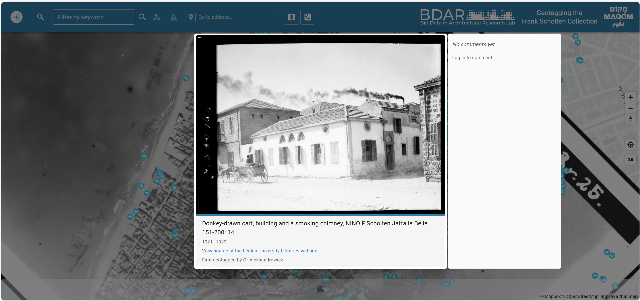
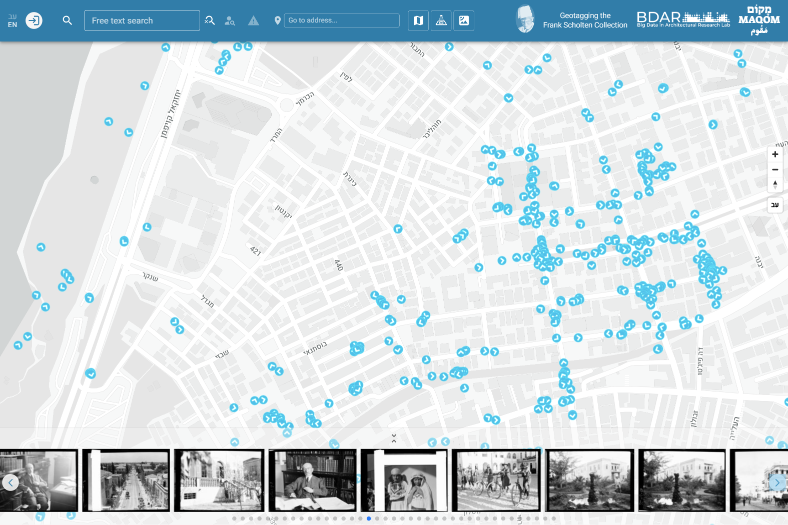
The growing quantities of digitized photographs create new opportunities to overcome the inherent difficulties of collecting visual place-related data from a multiplicity of sources, precisely because digitization can offer uniform platforms for data storage, categorization, extraction, and presentation. Nevertheless, as large collections of digitized historical photographs have been created and made available via the internet, it became evident that there are two major inherent problems with the way such data is currently indexed, stored, and made accessible.
The first challenge emanates from the need to systematically add precise geographic reference to each digitized item to efficiently retrieve it based on its geographic location. When processing large datasets this task can become daunting, if not unfeasible by relying only on the human resources of the institutions that manage collections of digital data. Secondly, the hurdles of place-related data extraction are further exacerbated because verbal descriptions of locational data are frequently inaccurate or incomplete. This can be attributed to the inaccurate or incomplete nature of verbal descriptions of source materials assigned to the items by their original creators but can also reflect the more basic limitations resulting from the act of verbally describing places. Even when we know the exact geographic location embedded in a digitized item the words we use to make sense of it may exclude important pieces of information that are essential for conveying its cultural significance as a place.
To overcome these two challenges, we have developed an online indexing and presentation platform (named MAQOM) that consists of a map-based search interface capable of simultaneously presenting and efficiently browsing through a variety of media sources, including digitized photographs. The users retrieve the place-related items by clicking on the interactive map and can filter the presented items via free-text search or by actively changing the geographic extents or the temporal range of the presented search results. To overcome the inherent practical limitations of large-scale georeferencing of digitized items, we suggest exploiting the power of crowdsourcing for collecting geographic and verbal place-related input from users from outside the institutions managing the photo collections. While this approach is more prone to errors than institutional indexing methods, open user feedback is expected to correct many of these errors more easily than keeping indexing behind the closed walls of institutional authority, which is always based on limited human resources and limited expertise when compared to the public’s participation in open data collection efforts.
See also:
Or Aleksandrowicz, Daniel Rosenberg, Ivan Vasileyev, Elad Horn and Yoav Orion, A new digital platform for overcoming current limitations in Geotagging and accessing large digital photo collections, Digital Humanities and Social Sciences (DHSS) in Israel conference, Tel Aviv, 21.5.2024.